Loading workspace…
Skip to articles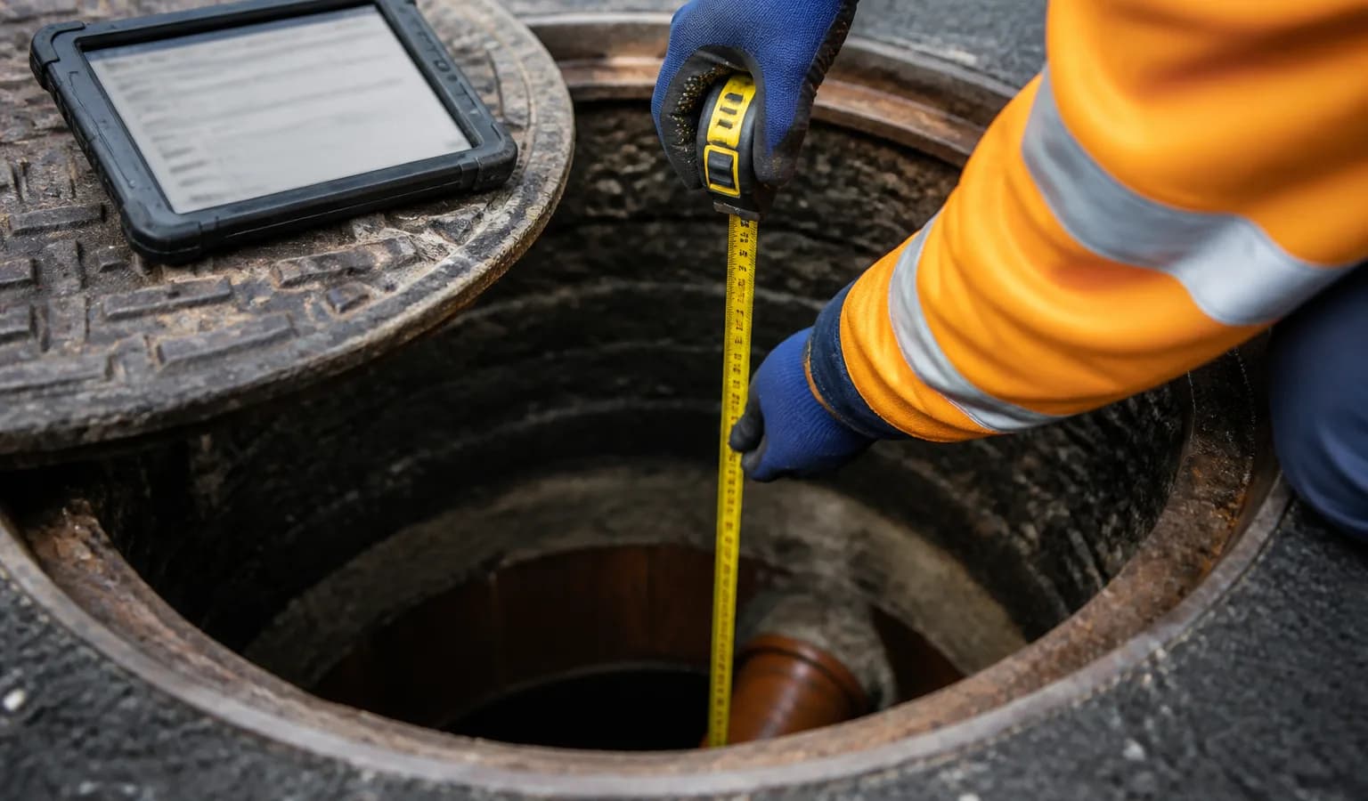
Insights
Guides for survey teams
In-depth articles on drainage and utility survey workflows — RAMS, PAS128 reports, offline capture, CAD and GIS handover, client portals, and how modern software compares with legacy STC25 tooling. Written in English for UK operators.
22 articles · 12 in-depth guides
TopicField capture6 min read
Manhole Invert Levels Explained: Cover, Invert and Datum for UK Surveys
Clear UK guide to manhole invert levels: cover level, depth to invert, datum, silt and water readings, and how to avoid client rejections.
Read article →GuideOperations8 min read
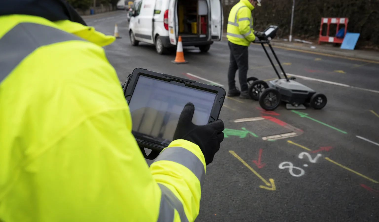
Utility Survey Software UK: Choosing a Platform for PAS128 Teams (2026)
UK guide to utility survey software for PAS128 teams: field capture, geo-photos, reports, QA, client portals and fit with drainage MH work.
Read article →GuideTechnology8 min read
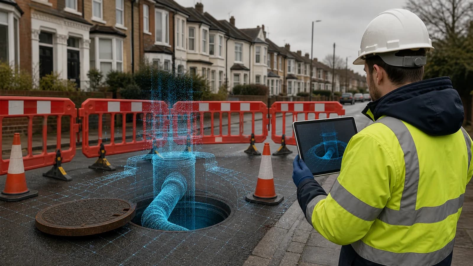
LiDAR Manhole Scanning with iPhone and iPad: UK Field Guide
Practical UK guide to LiDAR manhole scanning with iPhone and iPad: capture workflow, scale checks, GCPs, limitations and digital twin delivery.
Read article →GuideClient delivery8 min read
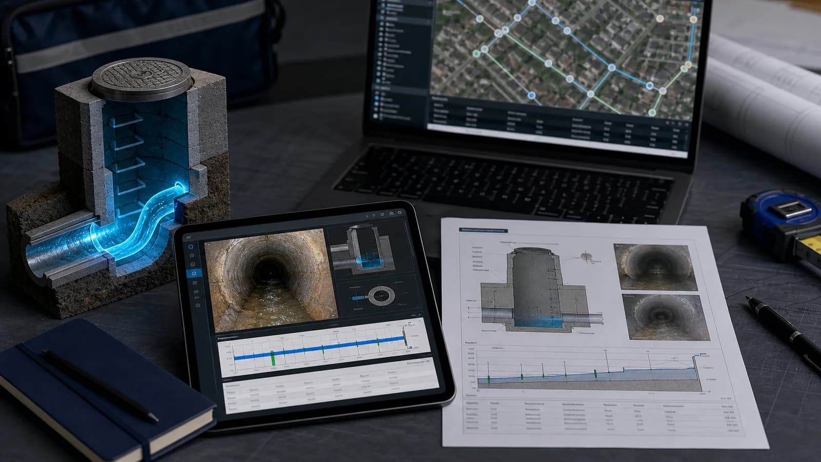
Manhole Inspection Report Template UK: What a Complete Report Needs
UK manhole inspection report template guide covering required fields, photos, pipe tables, cross-sections, QA, PDF layout and client handover.
Read article →GuideField capture8 min read
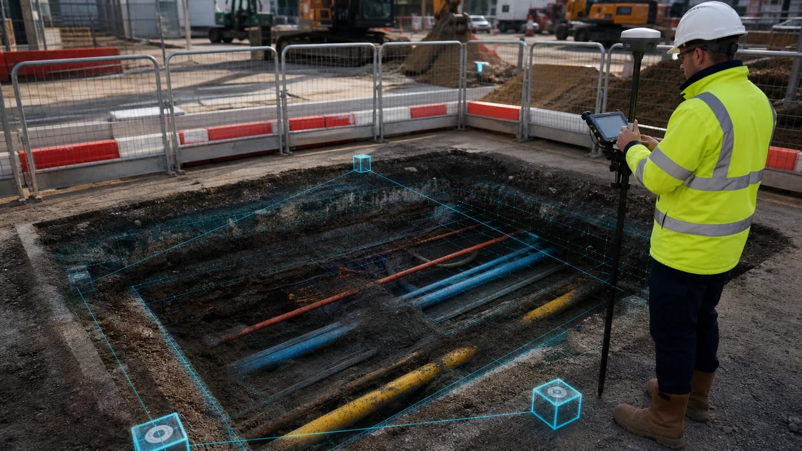
Trial Pit Survey Software UK: From Utility Exposure to Digital Twin
UK guide to trial pit survey software: exposed services, strata, coordinates, GCPs, photographs, 3D models, QA and client-ready reporting.
Read article →TopicTechnology5 min read
Linking CCTV to Manhole Records: Integration UK Survey Teams Need
UK guide to linking CCTV sewer surveys with MH/IC records: asset IDs, defect codes, client delivery and one project truth for drainage frameworks.
Read article →TopicField capture5 min read
Geo-Photo Survey Capture: Why GPS-Tagged Photos Beat the Camera Roll
UK guide to geo-photo capture for utility and MH surveys: GPS metadata, asset IDs, offline sync, and photos in PAS128 reports and client portals.
Read article →TopicField capture5 min read
Gully Survey Software UK: Field Capture Beyond Manholes
UK guide to gully (GY) inspection software: grate levels, pit depth, outlet pipes, 3D visualisation and QA-to-delivery workflow aligned with MH/IC surveys.
Read article →RSS feed
Subscribe in your reader — new posts appear here when published.