By the myPitLab team · Last updated 6 August 2026 · 8 min read
TL;DR
- Utility survey software should support the full job: briefing, field evidence, accuracy statements, QA and client delivery — not only CAD plotting.
- PAS128 clients reject packs with missing limitations, weak geo-photos or unclear quality levels.
- Geo-tagged photos and structured notes beat camera-roll dumps when disputes arise.
- The same firm often sells drainage MH/IC work; platforms that silo utility and drainage create double admin.
- Evaluate on offline capture, report generation, portal delivery and audit trail — not feature checklists alone.
Key takeaways
- PAS128 is a methodology and reporting discipline; software either supports it or forces Word gymnastics
- Geo-photo capture is central to defendable utility mapping
- PAS128 survey reports should generate from project data, not be rebuilt every Friday
- Client portals reduce “please resend the ZIP” cycles — see survey client portals
- Utility and drainage survey software should share project, team and delivery plumbing where possible
In this article
- What “utility survey software” means in the UK
- PAS128-shaped field and office workflows
- Evidence, accuracy and limitations
- Delivery packages clients accept
- Buying checklist for 2026
- Frequently asked questions
Introduction
UK utility survey firms live between CAT/Genny and GPR in the field, and client reviewers who want crisp PAS128 packs with quality levels, limitations and clear site photos. Spreadsheets and SharePoint folders can stagger through a few jobs. They break under framework volume.
This guide defines what utility survey software UK teams should expect in 2026, how it supports PAS128 delivery, and how it should sit beside manhole and drainage modules if you sell both. myPitLab is aimed at that combined survey operations reality: field evidence, reports, QA and portal delivery in one business system.
What utility survey software means in the UK
Buyers often confuse three layers:
- Detection and measurement tools — CAT, Genny, GPR, total station, GNSS
- CAD/GIS drafting — producing the plan
- Operations and delivery software — job control, evidence, reports, RAMS, client access
Layer 3 is where most margin leaks. Crews finish the survey; the office rebuilds the story for the client. Good utility survey software owns that middle: structured capture, QA, report generation and secure sharing.
It is not a replacement for competent utility detection. It is how competent detection becomes a repeatable commercial deliverable.
PAS128-shaped field and office workflows
A practical software path looks like:
- Job setup — client, site, scope, quality level targets, coordinate system
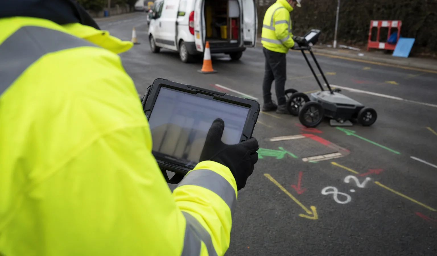
- Field capture — observations, marks, geo-photos, notes, equipment used
- Office QA — completeness, conflicts, missing limitations
- Publish — report PDF, drawings/exports, portal link
- Revision — clear status so clients never confuse draft and final
If your “system” is WhatsApp plus a shared drive, revisions are the first place trust dies.
Offline capability matters on congested urban sites and deep basements. The same rule as offline MH inspection applies: capture must survive without signal.
Evidence, accuracy and limitations
PAS128 packs fail when:
- Photos lack location context
- Quality levels are stated without supporting narrative
- Limitations are generic boilerplate that does not match the site
- Equipment and methodology are incomplete
- Asset IDs on photos do not match the drawing
Software should make the honest path the easy path: attach photos to the job/asset, prompt for limitations, and keep methodology linked to the published revision.
Where drainage chambers are part of the same commission, link utility findings to MH/IC records rather than treating them as unrelated files. See CCTV–manhole integration for a related “one project truth” pattern.
Delivery packages clients accept
Expect to ship some mix of:
- PAS128-style survey report with methodology and limitations
- Marked plans / CAD exports
- Photo schedule with GPS context
- Optional GIS packages
- Secure client portal access for re-download and revision history
AI can accelerate proposals and scoping (AI quote generators for survey jobs), but published utility packs still need human sign-off.
Health and safety documentation travels with the job. Digital RAMS for utility and MH surveys should not live in a separate forgotten folder.
Buying checklist for 2026
Score vendors on:
| Capability | Why it matters |
|---|---|
| Offline field capture | Urban canyons and plant rooms |
| Geo-photo with asset/job link | Dispute defence |
| Report generation from live data | Fewer Word rebuilds |
| QA gates before publish | Fewer client rejections |
| Client portal + revisions | Less email chaos |
| Shared ops with drainage/MH | One firm, one admin model |
| Audit trail | Framework and insurance scrutiny |
A pretty CAD plugin that ignores QA and portal delivery will not fix your Friday night bottlenecks.
Frequently asked questions
Is utility survey software the same as GPR processing software? No. GPR processing interprets radar data. Utility survey operations software manages jobs, evidence, reports and client delivery. Many firms use both.
Does software make a survey PAS128-compliant by itself? No. PAS128 compliance depends on methodology, competence and honest reporting. Software supports the process and the evidence trail.
Can we keep AutoCAD and still modernise delivery? Yes. Keep CAD for drafting where needed, but stop using email ZIPs as the only delivery channel. Export from a verified project record into CAD and portal alike.
Should utility and manhole modules share one login? If the same crews and PMs run both, yes. Dual systems double training and break project-level reporting.
Summary
Utility survey software UK teams need in 2026 is the operations layer around PAS128 work: capture, evidence, QA, reports and client delivery. Pair it with strong field practice and, where you also sell drainage, with MH/IC/gully workflows that share the same project spine.